Trekking Aparthotel Novo Mar, Paguera

Official website

Spectacular routes to enjoy Mallorca

The best location for hikers

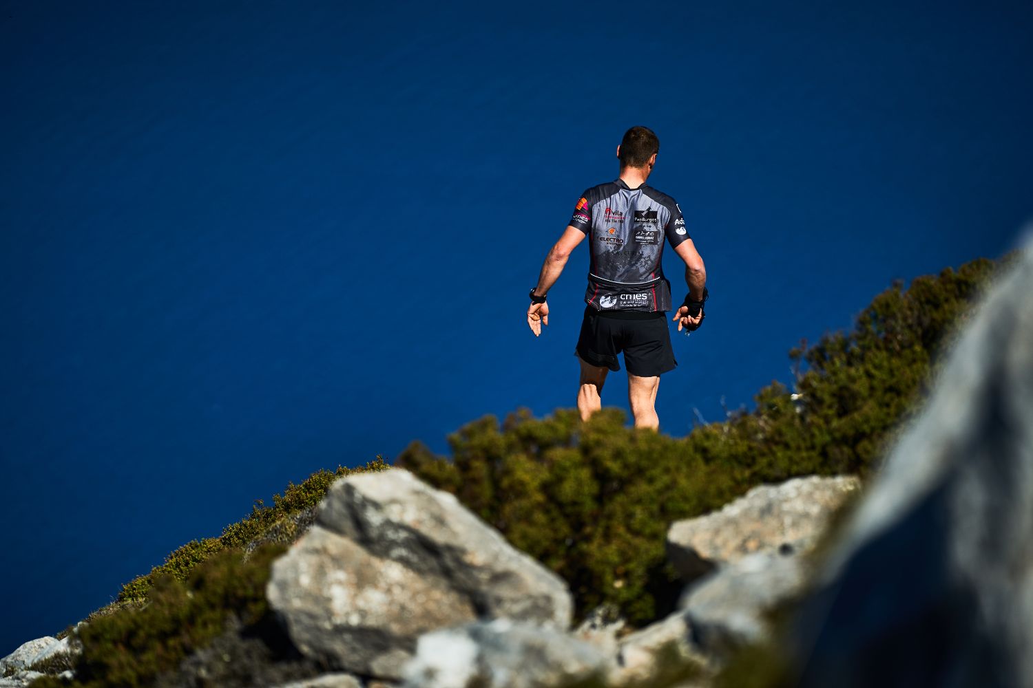
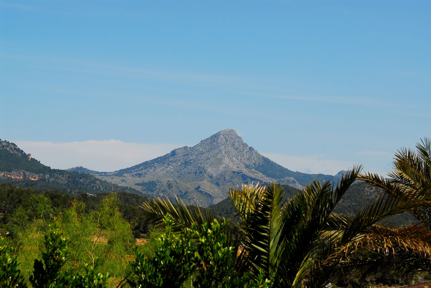
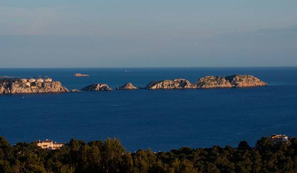
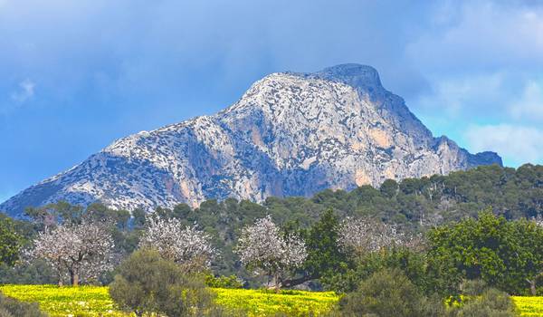
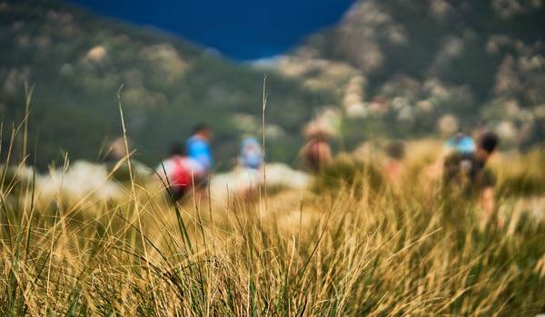
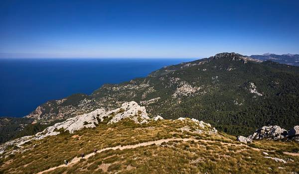
Paguera, the perfect place for hiking

The perfect place to start beautiful routes and excursions. Mountains, natural landscapes, idyllic and traditional villages, Mediterranean flora and fauna, the Tramuntana mountains and much more.

The location of the Aparthotel Novomar is perfect for hiking. A completely refurbished aparthotel, focused on sportsmen and women and lovers of exercise. From Paguera you can choose totally different and varied routes, with their own characteristics. In addition, all the paths and trails have all the adapted services.

From access to traditional Mallorcan villages or routes along the coastline, to incredible trails through the Tramuntana mountain range. Paguera is located at the gates of the Sierra, a perfect location to enjoy the purest and most idyllic Majorca.

RS1 - Cala Fornells - Cap Andritxol

This route starts at Cala Fornells, where you can begin a route designed to get to know Cap Andritxol and the entire area declared a Natural Area of Special Interest (ANEI). You will be able to enjoy the views of the coast of Calvià, Camp de Mar and Cap de Llamp.

Address: Carretera de Cala Fornells, 76, 07160 Peguera, Illes Balears, Spain

- Distance: 9 km
- Estimated time required: 3 h
- Difficulty: low
- Maximum altitude: 133 m
- Positive difference in altitude: 400 m

Route

Dream routes

Variety, comfort and the Tramuntana Mountains

  • RS2 - Ses Sínies (Finca Galatzó)

    RS2 - Ses Sínies (Finca Galatzó)

    The route takes place entirely in the spectacular natural, heritage and historical surroundings of the interior of the Galatzó public estate, located on the outskirts of the village of Es Capdellà.

    It is necessary to wear suitable footwear and clothing for the route. It is advisable to bring enough food and drink.

    Address: Carretera de Es Capdellà a Galilea, Km 2.2, 07196 Calvià, Balearic Islands

    - Distance: 9 km
    - Estimated time required: 3 hours
    - Difficulty: easy
    - Maximum altitude: 304 m
    - Positive difference in altitude: 232 m

    Route
  • RS3: Galatzó to Sa Vinya

    RS3: Galatzó to Sa Vinya

    This is a route with easily accessible trails and routes, very well signposted and suitable for all levels and audiences. It runs through the typical cultivated areas of a Mallorcan mountain estate. With the presence of almond and carob trees with a wooded area of pine forest and garrigue.

    Address: Carretera de Es Capdellà a Galilea, Km 2.2, 07196 Calvià, Balearic Islands

    - Distance: 7.40 km
    - Estimated time required:
    - Difficulty: easy
    - Maximum altitude: 385 m
    - Positive difference in altitude: 322 m


    Route
  • RS5 - Galatzó to Ses Planes

    RS5 - Galatzó to Ses Planes

    A very beautiful route in terms of landscape, biography and ethnography. Bounded by dry stone walls, it links Galatzó with the old mountain farming area of Ses Planes.

    Address: Carretera de Es Capdellà a Galilea, Km 2.2, 07196 Calvià, Balearic Islands

    - Distance: 8.51 km
    - Estimated time required:
    - Difficulty: low
    - Maximum altitude: 487 m
    - Positive difference in altitude: 423 m

    Route